
ARH is a full-service aviation company operating helicopters and fixed wing aircraft specializing in aerial patrol services. We utilize the latest aerial technologies to meet your aerial inspection needs.
Learn more about our capabilities below or contact us to discuss your aerial inspection needs by calling us at 479-365-3640 or filling out the form below.
Learn more about our capabilities below or contact us to discuss your aerial inspection needs by calling us at 479-365-3640 or filling out the form below.
our technology
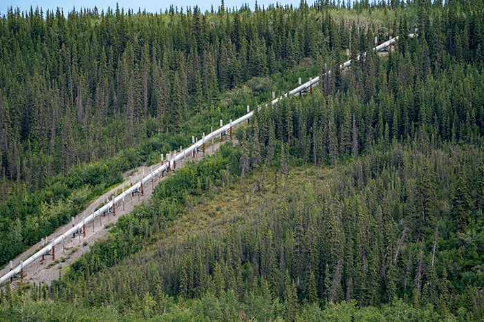
Aerial laser remote methane detection
|
Finding a gas leak is sometimes like looking for a needle in a haystack. Let us help you with our Aerial Laser Remote Methane Detection.
Benefits:
|
|
Technical Specification
- Sensitivity: 5 ppm x m at 300 ft.
- Pulse duration: 6000 pulses per second.
- Inspection speed: 55 miles per hour for straight pipelines. 25 miles per hour for gathering pipelines.
- Wind: Up to 25 knots and width of beam 45 ft.
- Flying altitude: 200 – 330 ft.
- HD Video: We capture 160 ft. either side of centerline. About 320 ft. total.
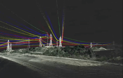
LiDar
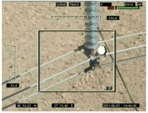
Corona Detection Camera
|
|
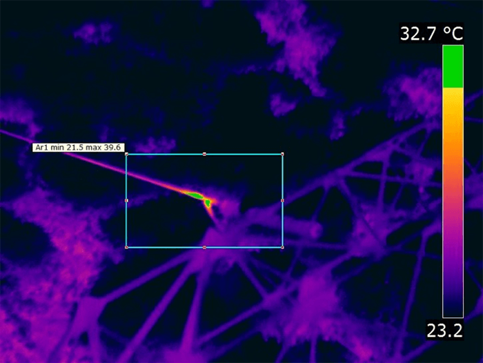
Infrared camera
|
Specifications:
|
|
digital Still Frame Camera
|
|
Other available technologies
|
|